Protected Geomorphological Monument • Island of Brač

The Changing Golden Horn

Extending nearly half a kilometre into the Hvar Channel, Zlatni Rat is a living cape formed of smooth white and amber pebbles. Driven by the thermal Maestral wind and shifting Adriatic currents, the horn's apex perpetually bends east and west—an ever-evolving natural wonder.

450m Peninsula Length into Channel
1965 Designated Geomorphological Monument
778m Vidova Gora Ridge Crest
22 kt Average Afternoon Maestral Wind
Comprehensive Island Insights

The Five Dimensions of Zlatni Rat

Understand how geological forces, Adriatic marine microclimates, and dedicated municipal stewardship shape one of Europe’s most revered coastal formations.

Crystal clear Adriatic coastal waters swirling around white pebble formations
Geomorphology • Oceanic Currents

Morphology & Coastal Currents

Explore the hydrodynamics of the Brač channel. Discover how limestone detritus washed from Vidova Gora settles on an underwater reef and alters its orientation following Jugo and Bura gales.

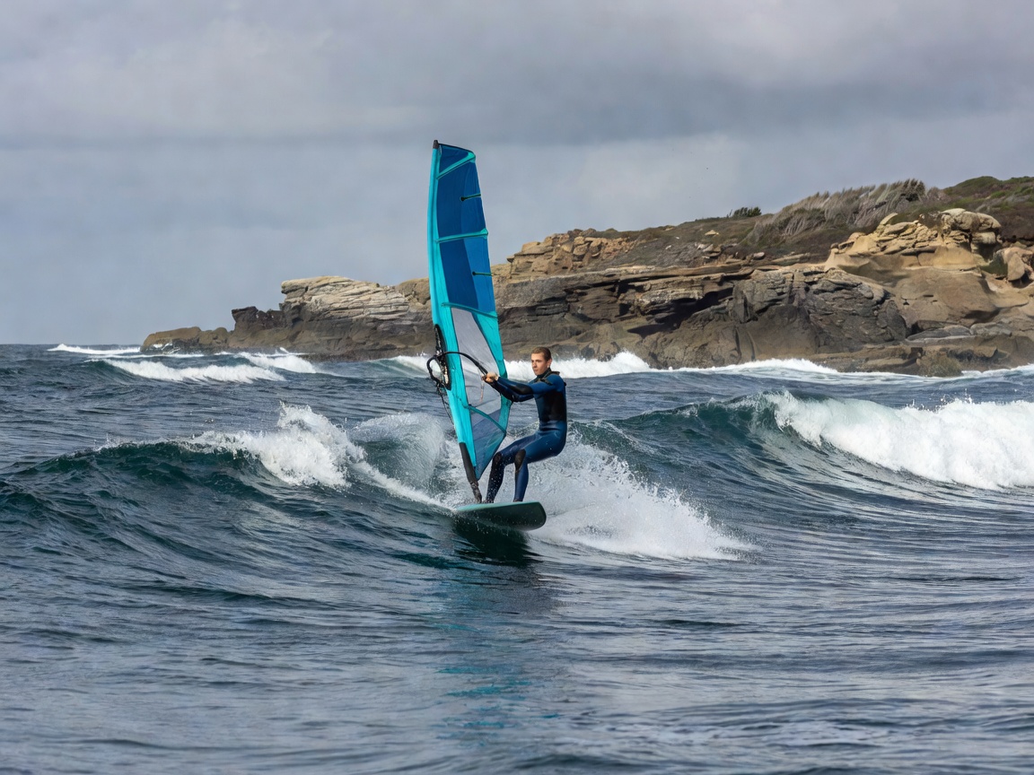
Windsurfer gliding across ocean swells under brisk coastal winds
Active Travel • Thermal Winds

Windsurfing & Watersports

The funnel effect between Brač and Hvar creates the Maestral—a consistent thermal breeze renowned across the Mediterranean. Review launch zones, safety boundaries, and swimming sectors.

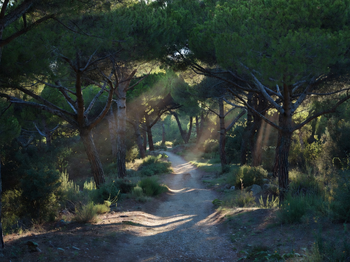
Scenic shaded pine pathway with sunlight filtering through Mediterranean evergreen trees
Access • Shaded Promenade

Bol Promenade & Transfers

Wander the marble-paved pedestrian trail beneath century-old Aleppo pines from Bol harbour. Compare walking itineraries, rubber-wheeled tourist road trains, and seasonal water taxis.

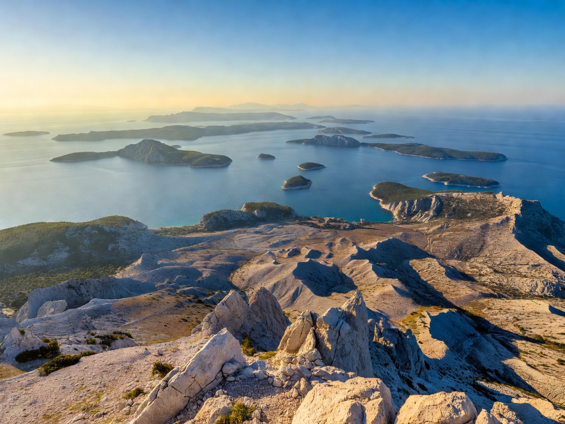
Mountain summit panoramic view overlooking Adriatic islands and karst landscape
Elevation • Aerial Photography

Vidova Gora & Vantage Points

At 778 metres, the highest summit in the Adriatic archipelago delivers bird's-eye panoramas of Zlatni Rat. Review trail paths, sunset photography timing, and drone flight restrictions.

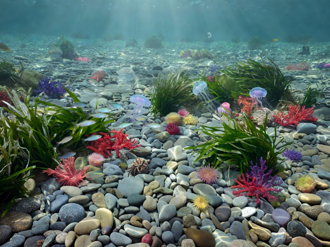
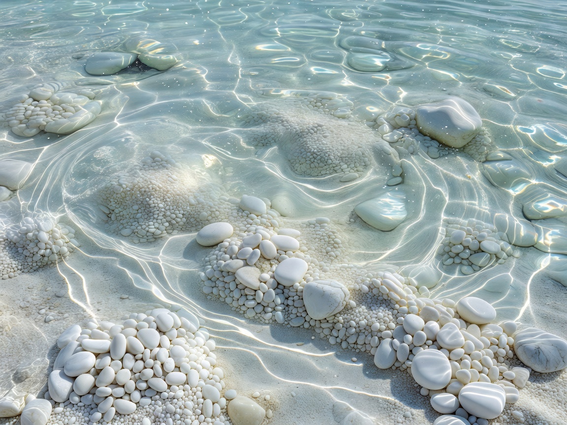
Pristine marine seabed with underwater pebble floor and thriving coastal aquatic ecology
Ecology • Legal Protections

Environmental Protection

As a designated geomorphological monument, Zlatni Rat imposes strict prohibitions against pebble removal, offshore yacht anchoring, and mechanical alterations. Learn how to tread lightly.

Practical Adriatic Advisory

Selecting Your Window: Timing, Tides & Currents

The water temperature around Zlatni Rat warms steadily from 19°C in early June to 25°C in August, maintaining swimmable clarity well into late October. Because the spit extends perpendicularly into the channel, one side of the horn consistently provides calm, leeward swimming while the windward flank accommodates high-speed board sports.

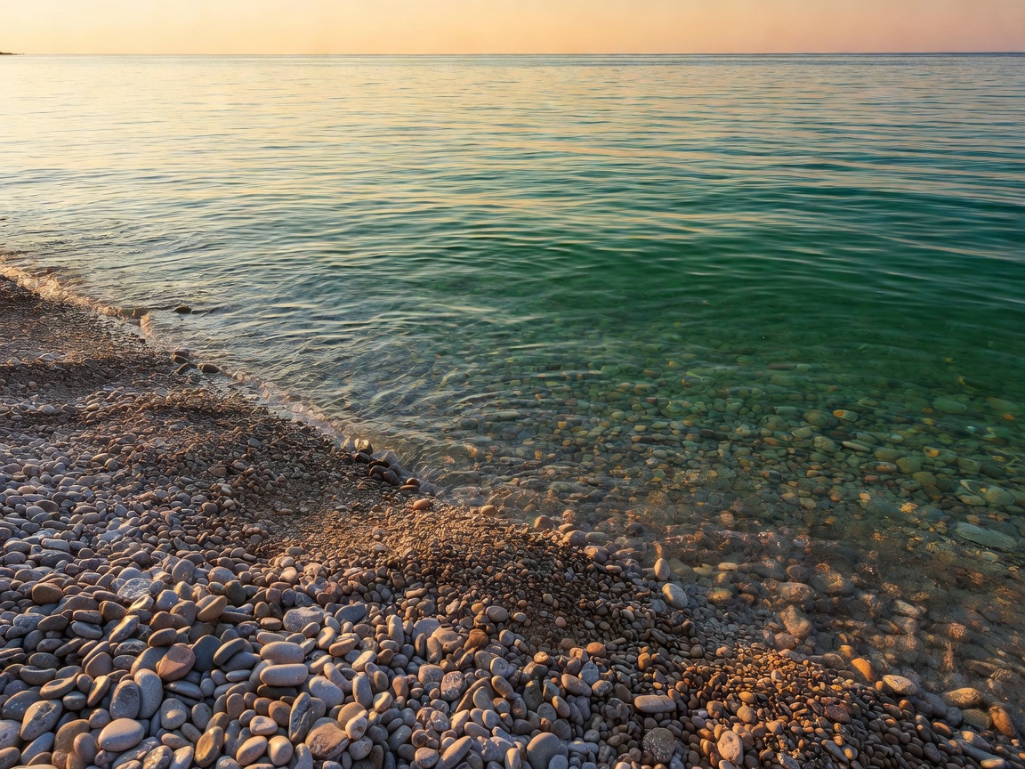
Scenic morning sunlight illuminating calm coastal pebbles and emerald Adriatic water

During winter storm cycles, southeasterly Jugo waves periodically bend the apex completely inward toward the pine woods, occasionally creating a temporary brackish pool within the pebble bank before spring northerly currents restore the linear horn.

The "Lucky Stone" Folklore

Among millions of white limestone pebbles, visitors occasionally spot a small, shell-encrusted fossil stone locally named Kamen Sreće (Stone of Happiness). Municipal park rangers encourage photographing these fossils where they lie rather than removing them from the coastal ecosystem.
Visitor Inquiries

Essential Questions Answered

Is Zlatni Rat a sand beach or a pebble beach?

Zlatni Rat is composed entirely of rounded limestone pebbles originating from the surrounding karst massif of Brač. As waves wash over them, they tumble smooth and fine, feeling remarkably comfortable underfoot without sticking to skin like fine quartz sand.

How far does the beach sit from the centre of Bol?

The tip of Zlatni Rat is situated approximately 2 kilometres west of Bol harbour. You can reach it via a 20-minute shaded pedestrian stroll along the marble promenade, by the tourist road train, or via frequent harbour taxi boats.

Why does the tip curve toward different directions?

The spit sits atop a submerged calcarenite reef. When westerly winds and currents dominate, pebble deposits shift toward the east. Conversely, winter southeasterly Jugo waves push material toward the west, sometimes curving the tip almost 90 degrees back toward the coastline.

Are motorised watercraft permitted near the tip?

No. Under regional environmental protection regulations, motorised speedboats, personal watercraft (jet skis), and commercial anchorages are barred from entering the demarcated safety zone surrounding the pebble spit to safeguard swimmers and seafloor integrity.