The Summit Experience
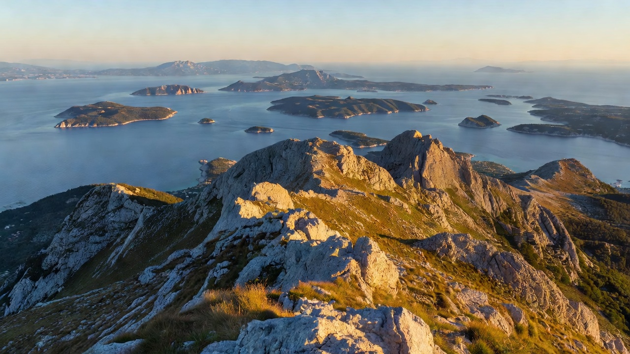
From the sea, Zlatni Rat feels vast, its curved edges encompassing expansive pebble banks. But from the limestone rim of Vidova Gora, the entire 450-metre formation appears as a sharp, delicate golden spear piercing the deep indigo and olive waters of the Hvar Channel.
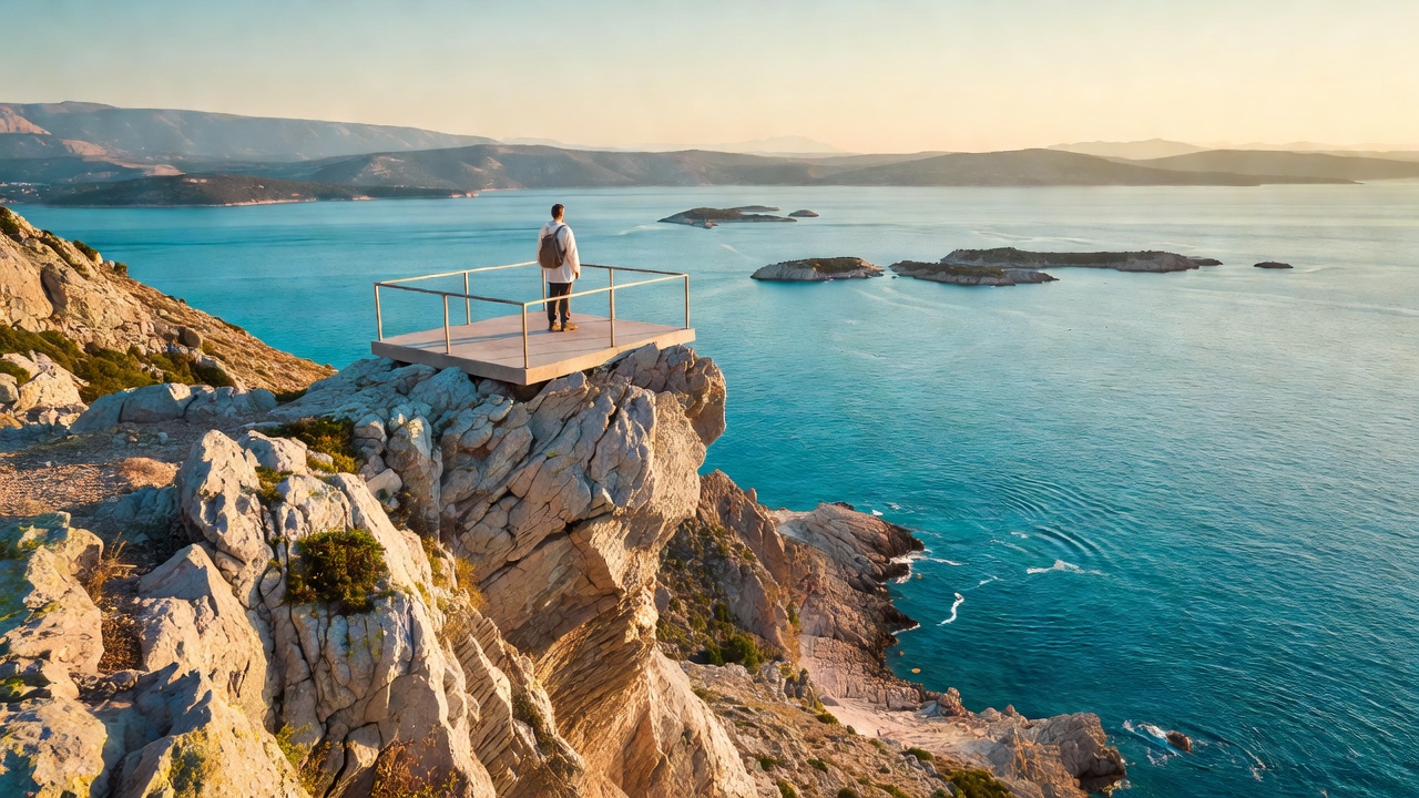
The summit is marked by a monument cross carved from Brač stone, a telecommunications mast, and the remnants of the Romanesque chapel of St. Vitus (Sveti Vid), after whom the peak is named. On days with crisp atmospheric visibility—particularly after a winter or spring Bura—the view extends south past Hvar and Vis all the way to the distant silhouette of the Italian Apennine ridge.

The limestone precipice of Vidova Gora drops 778 vertical metres straight down to the coastal plain of Bol.
How to Reach the Summit
There are two distinct methods for reaching the summit viewpoint:
The Hiking Trail (Marked Route from Bol)
- Trailhead: The hike begins on the northern edge of Bol town above the Dominican monastery road, clearly designated with standard Croatian Mountaineering Association (HPS) red-and-white circular markings.
- Elevation Gain: 760 vertical metres over approximately 5.3 kilometres.
- Time Required: 2 to 2.5 hours on ascent; 1.5 hours on descent.
- Terrain: Loose limestone karst, dry scree, and stony switchbacks transitioning into indigenous Dalmatian black pine (Pinus nigra dalmatica) forest near the upper plateau.
- Safety Advisory: The southern slope is fully exposed to sun with no natural water sources. Hikers must start before 07:00 AM during summer months and carry a minimum of 2 litres of water per person. Sturdy footwear is mandatory.
Road Access via Nerežišća
- Route: Visitors who prefer not to hike can drive along the paved island interior road. From Supetar or Bol, follow the road toward Nerežišća, turning onto the signposted Vidova Gora spur road across the karst plateau.
- Drive Duration: Roughly 30 minutes from Bol via the plateau road.
- Parking: Ample parking is situated roughly 150 metres behind the summit observation platform.
Photography Recommendations
Capturing Zlatni Rat from Vidova Gora requires specific lens and lighting considerations:
- Optimal Timing: Mid-morning (08:30 to 11:00) provides direct sun illumination penetrating the underwater shelf, revealing the dramatic turquoise and emerald gradation of the reef. Late afternoon creates long shadows across the mountain flank.
- Focal Lengths: Because of the 778-metre vertical drop and 2-kilometre horizontal distance, standard wide-angle smartphone lenses render the beach as a tiny speck. A telephoto focal length of 70mm to 200mm (full-frame equivalent) is required to isolate the cape cleanly.
Aviation & Drone Regulations
The airspace between Vidova Gora and Zlatni Rat falls under Croatian Civil Aviation Agency (CCAA) jurisdiction. Due to paragliding launches occurring frequently from the summit ramps, operating uncrewed aerial vehicles (drones) without prior registration and active flight clearance is strictly prohibited.